


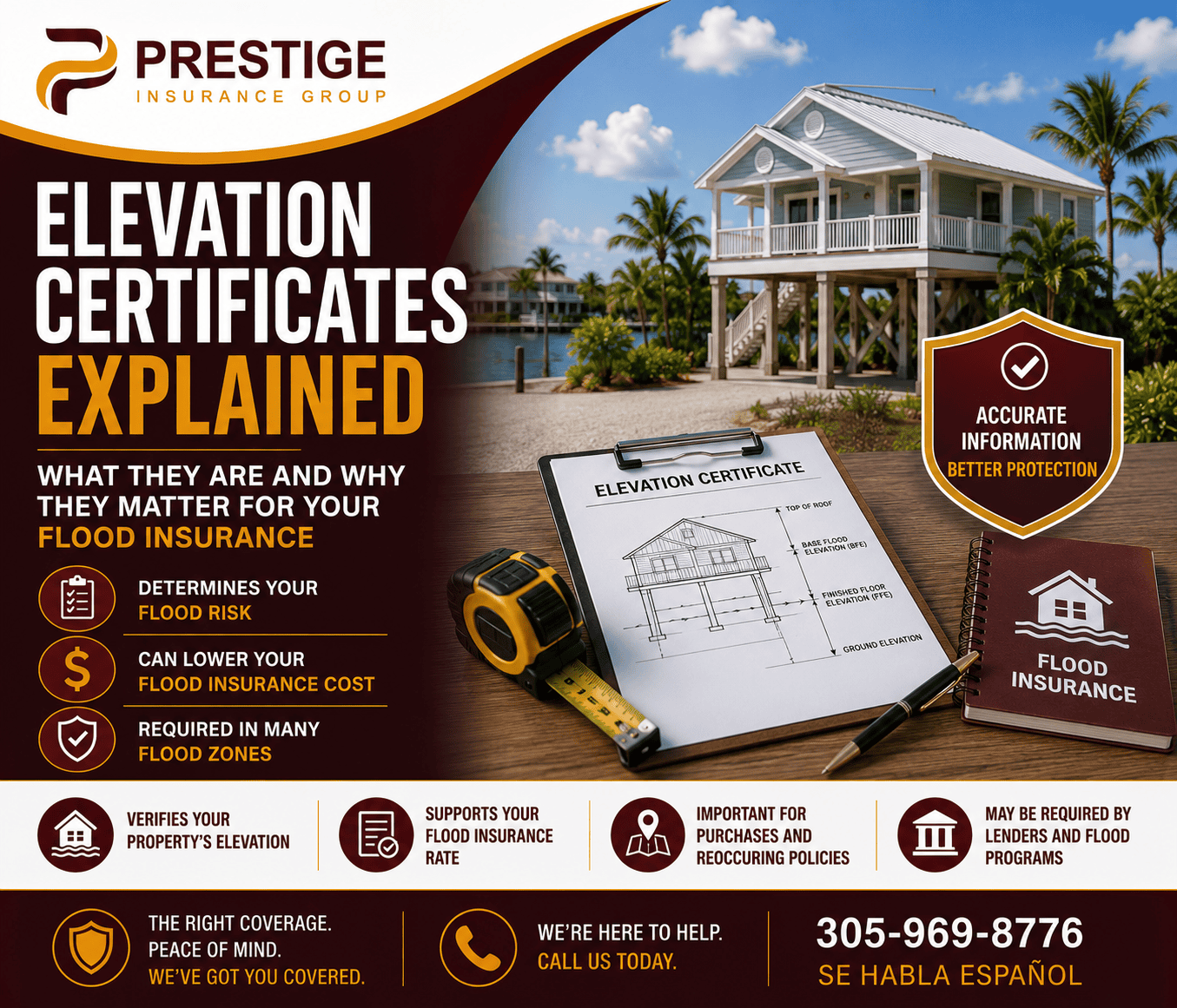
Elevation Certificates Explained: What They Are and Why They Matter for Your Flood Insurance
If you’ve reviewed flood insurance anywhere in Florida, you’ve likely heard the term “elevation certificate” mentioned as something that can dramatically affect your premium. Few homeowners actually understand what this document is, what it costs, or how to get one — and that gap in understanding can mean paying significantly more for flood coverage than your property’s real elevation would actually justify.
At Prestige Insurance Group, we help Florida homeowners understand elevation certificates and use them to their real advantage. Learn more about our Flood Insurance solutions.
What an Elevation Certificate Actually Is
An elevation certificate — officially FEMA Form 086-0-33 — is a document that records your building’s elevation relative to the Base Flood Elevation (BFE) established for your specific property location. It includes your building’s lowest floor elevation, the elevation of any machinery or equipment, the BFE for your address, and your official flood zone designation. Insurance agents and carriers use this data directly to calculate your flood insurance premium, which is exactly why this document matters so much financially.
Why Elevation Genuinely Matters This Much
The financial stakes here are real and significant. A properly documented elevation certificate can reduce flood insurance premiums by 15% to 30% per foot above the Base Flood Elevation, often translating into $500 to $2,000 or more in annual savings depending on your property and location. Under FEMA’s Risk Rating 2.0 pricing system, your specific elevation relative to the BFE directly determines your premium — a difference of even a single foot can mean hundreds of dollars annually, and in Florida’s highest-risk coastal markets, the swing can be far larger.
Who Actually Needs One
You generally need an elevation certificate if your property sits in a FEMA Special Flood Hazard Area (zones AE, VE, AH, or AO) and you have a federally backed mortgage. But even when it isn’t strictly required, obtaining one is often worthwhile anyway — it provides the documentation needed to prove your home sits above the Base Flood Elevation, which can meaningfully reduce your premium even in a zone where a certificate isn’t mandatory.
Check for an Existing Certificate Before You Pay for a New One
This is a genuinely valuable, often-overlooked first step: many Florida counties and municipalities maintain elevation certificate records for properties within their jurisdiction. Before hiring a surveyor, check with your county floodplain manager or building department to see whether a certificate already exists for your property — if one does, it may be available for free or for a small records request fee, potentially saving you the full cost of a new survey.
How to Get One If None Exists
If no existing certificate is on file, the process is straightforward, though it does require hiring a licensed professional. In Florida, an elevation certificate must be prepared by a licensed Professional Surveyor and Mapper (PSM) or a licensed Professional Engineer (PE) — this isn’t something you or a general contractor can complete yourselves.
The process typically follows five steps: first, contact a surveyor and confirm they’re experienced with elevation certificates and FEMA requirements specifically. Second, the surveyor conducts a field survey, physically visiting your property to measure elevations using precise GPS and leveling equipment. Third, the surveyor researches your specific flood zone, BFE, and datum using current FEMA flood maps. Fourth, the surveyor completes the official FEMA form and certifies the data with their professional seal. Finally, you receive the signed, sealed certificate — typically within three to seven business days, sometimes as quickly as three to five for straightforward properties.
What It Actually Costs in Florida
Real costs vary based on property type and complexity. Standard residential slab-on-grade homes typically run $400 to $600. Elevated homes on pilings or with crawlspaces, which require additional measurement points, typically run $450 to $700. Commercial buildings generally cost $500 to $900. South Florida locations often run $50 to $150 more than other regions of the state, and rush service can add 25% to 50% to the base cost. Given how much the resulting document can save on your annual premium, this cost is genuinely modest relative to the potential return.
Verify Your Surveyor Is Actually Licensed
Before hiring anyone, verify your surveyor’s license through the Florida Department of Agriculture and Consumer Services (FDACS) — the state agency that licenses Professional Surveyors and Mappers. A certificate prepared by someone without proper licensing may not be accepted by FEMA or your insurance carrier, meaning you’d have paid for a document that doesn’t actually accomplish anything.
Risk Rating 2.0 Didn’t Change the Certificate Itself
This is worth understanding directly if you’ve heard about FEMA’s major 2023 pricing overhaul: Risk Rating 2.0 changed how FEMA calculates flood insurance premiums using elevation data, but it did not change the elevation certificate form or the process for obtaining one. The document and the survey process remain the same — what changed is how insurers weigh and apply that elevation data when calculating your actual premium.
Your Elevation Certificate Can Open the Door to a LOMA
If your elevation certificate shows that your property’s lowest adjacent grade or lowest floor sits at or above the Base Flood Elevation, you may qualify for a Letter of Map Amendment (LOMA) from FEMA — an official determination that your property was incorrectly included in a high-risk flood zone in the first place. This can potentially remove the mandatory flood insurance requirement entirely, not just reduce your premium. See our full guide on disputing your flood zone through the LOMA process for exactly how this works.
Frequently Asked Questions
How much does an elevation certificate cost in Florida? Typically $400 to $900, depending on property type, complexity, and location, with South Florida properties often running slightly higher.
Can I get an elevation certificate myself? No — it must be prepared and certified by a licensed Professional Surveyor and Mapper or Professional Engineer in Florida.
How much can an elevation certificate actually save me? Often $500 to $2,000 or more annually, with premium reductions of 15% to 30% per foot your property sits above the Base Flood Elevation.
Should I check for an existing certificate before hiring a surveyor? Yes — many Florida counties already maintain elevation certificate records, sometimes available for free or a small fee.
Does an elevation certificate remove my flood insurance requirement? Not by itself, but it provides the documentation needed to apply for a LOMA, which can potentially remove the requirement if your elevation genuinely qualifies.
Getting the Real Value From Your Elevation Data
An elevation certificate is one of the more consequential documents in Florida flood insurance — and understanding exactly what it does, what it costs, and how to use it can mean the difference between paying full flood zone pricing and paying what your property’s actual elevation genuinely justifies.
Prestige Insurance Group helps Florida homeowners understand their elevation data and apply it toward real flood insurance savings.
Contact Prestige Insurance Group today:
Miami: 305-969-8776 Orlando: 407-993-2331 Stuart: 561-983-4333
Se Habla Español.